

To access the Geofences tab, the Geofences service should be enabled in the properties of the user's account or billing plan.
Geofences are specific areas on the map used to track units within or outside of these areas.
To go to the Geofences tab, click on its name in the top panel or select Geofences in the main menu customizer. On this tab, you can create geofences and their groups, edit, copy and delete them (see Managing geofences).
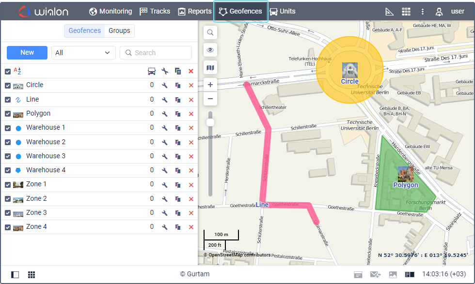
A geofence can be in the shape of a polygon (for example, a city or the premises of a factory), a line (for example, a certain street), or a circle of any radius.
Geofences can be used in notifications, reports, routes, unit tooltips, and so on. Geofence tooltips can display images and videos from another source which are dynamically updated.
Video: Geofences tab
You can find information about the Geofences tab in the following video dated 11.03.2020: