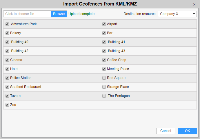
This option allows you to import geofences from a file to a resource.
Indicate the path to a proper file and press Upload. The file is processed on the server, and its contents are displayed below. Check items to be imported and select a destination resource. In the dropdown list, you can see only those resources to which you have Create, edit, and delete geofences access.
At the end, click OK. If all or some of the data was not imported, a warning message is displayed on the screen. It contains a link to a file which you can download to see what data was imported and what was not. You can also check the status of the operation in the log.
It is not possible to import a file which contains <MultiGeometry> tags. For successful import, open the file in the text editor, find and delete all <MultiGeometry> and </MultiGeometry> tags and save the changes.


