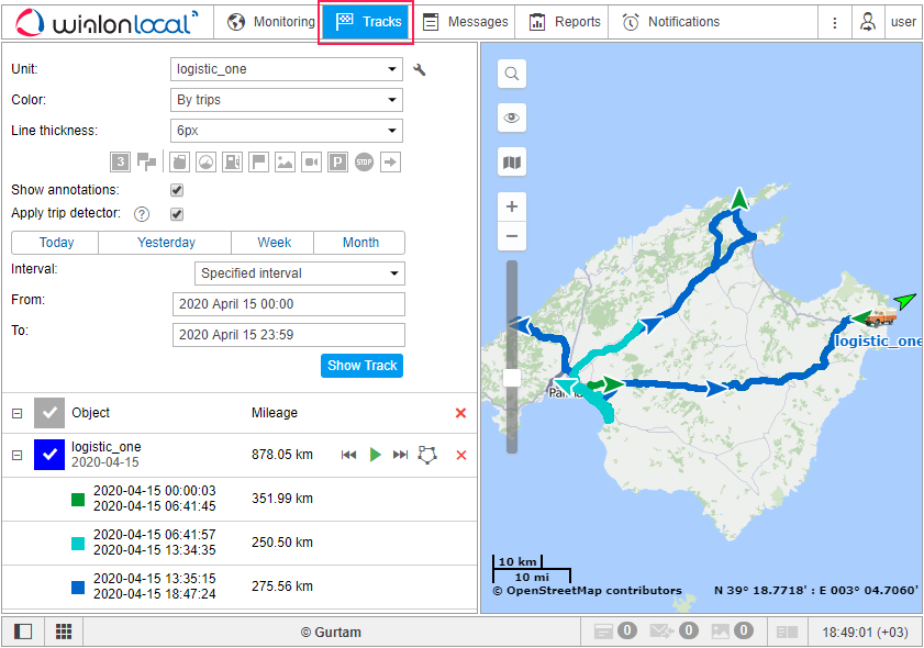
Tracks
The track is a line drawn on the map to show how a unit moved during the indicated period. A track is mapped by the points from where messages came. Each point stores the date and time when the message was received and coordinates at the point, as well as other parameters (speed, sensors etc.). Besides, markers indicating places of fuel fillings, parkings, and other events can be drawn on the track.
Any number of tracks can be drawn on the map. They can represent different units and various time intervals. To prevent tracks from being confused with each other, you can set different colors for them. Besides, different segments of the track can be of different colors depending on the speed or sensor values.
To open the Tracks panel, select a corresponding name in the top panel or click on the necessary item in the main menu customizer.

To build a track, it is necessary to have the Query reports or messages right towards a corresponding unit.