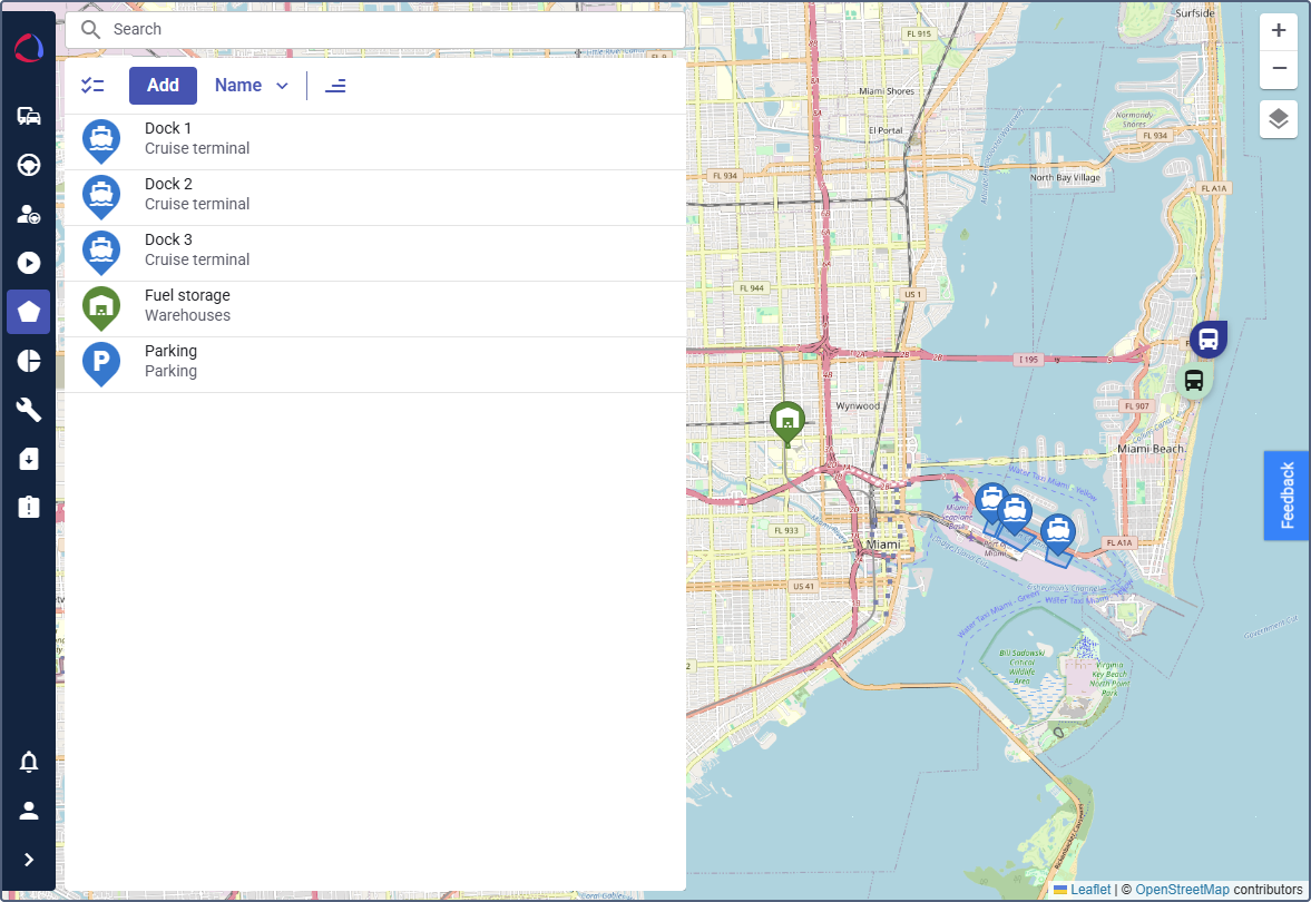
Geofences
The Geofences module allows you to create virtual perimeters around specific geographic areas on the map. These geofences can represent customer locations, operational zones, restricted areas, or entire countries. By monitoring when vehicles enter or exit these zones, you can trigger automated alerts, generate reports, and enhance operational control and security.
Geofences can be used to monitor vehicle movement, automate reporting and vehicle location-related processes.
Configuring and using the module includes the following steps:
- Enabling the “Geofences” module
- Creating geofence groups
- Creating a geofence
- Using geofences in automations
- Using geofences in reports
See the example of integrating geofences into your automated workflows on the Alerting when a vehicle leaves the country page.