Selecting a map in FleetSpace
Who can do it: Service provider, Customer
Where: Wialon Platform FleetSpace
In Wialon Platform FleetSpace, you can switch between different basemaps (or layers) and enable overlays. This allows you to choose the most suitable map for tasks like monitoring devices, analyzing tracks, or managing geofences.
The geocoding service, which converts coordinates to addresses, is configured by the service provider in Studio and can’t be changed within the FleetSpace interface.
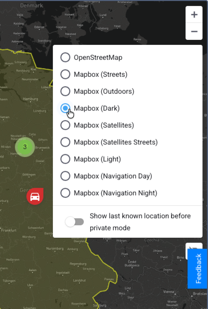
To select a map, follow these steps:
-
Log in to Wialon Platform FleetSpace.
-
Navigate to any page that contains a map, such as Devices, Drivers online, or Track player.
-
On the map, click on the icon
 which is located in the upper-right corner.
 -
Select a map service from the list. The list includes available basemaps (including layers) and overlays if any are added. You can select one basemap at a time and add multiple overlays on top of it.
After selection, the map is instantly updated.